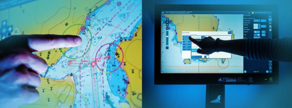
Warship Electronic Chart Display and Information System
Navigating the Seas with Unmatched Precision by discovering the Power of Our Warship Electronic Chart Display and Information System!
Navigating the Seas with Unmatched Precision by discovering the Power of Our Warship Electronic Chart Display and Information System!
WECDIS was created specifically to let ship crews fully monitor and control navigation plans while using additional navigational aids necessary for marine operations and safe navigation. In comparison to normal WECDIS, it offers cutting-edge military and surveillance functions as well as additional navigational data that is specifically needed for military missions. "Unprecedented Situational Awareness" is provided by this system. It stands out for being extremely thorough, simple to use, and providing cutting-edge military and surveillance-specific functionality. By continuously supplying navigational information on an electronic chart (WECDIS) that is shown on a range of display sizes, Stingray WECDIS is a sophisticated navigation system that consists of electronic charts and will eventually replace traditional charts.
Unprecedented situational awareness with Stingray WECDIS. Navigate with confidence and control.

SENSOR DISPLAY
ALERTING
TRAINING & SIMULATION
ACCESS CONTROL
INTEGRATIVE RADARS
A local and common tactical picture compilation provides a comprehensive and accurate view of the maritime environment, enabling naval commanders to make informed decisions and operate more effectively.